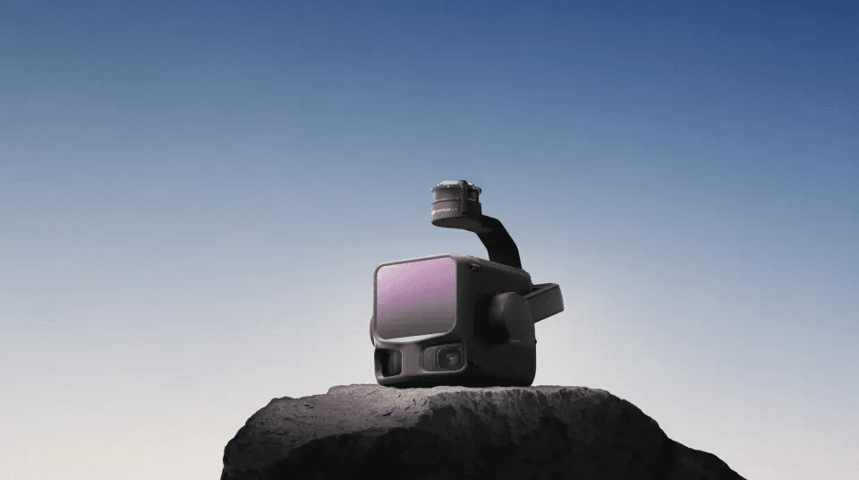
DJI Unveils Zenmuse L3: 950m Range LiDAR, Redefining High-End Aerial Surveying
Published:November 5, 2025
Reading Time:1 min read
Want to read in a language you're more familiar with?
DJI launches Zenmuse L3, a 950m-range, self-developed LiDAR with dual 100MP cameras and 16-return echo, priced at 109,080 RMB to democratize high-end aerial surveying.
Related News: https://pandaily.com/dji-dock-3-officially-released-first-to-support-vehicle-mounted-mobile-deployment
On November 4, 2025, DJI launched the Zenmuse L3, its first high-end aerial surveying LiDAR system in Shenzhen, breaking foreign monopoly with fully in-house technology and targeting the premium market. The Zenmuse L3 delivers breakthrough performance:
- 1535nm laser with 950m range at 10% reflectivity, up to 2,000m at 80%.
- World-first integration of dual 100MP visible-light cameras and high-precision IMU, achieving 5mm repeat ranging accuracy at 150m and 3cm ground sampling at 300m altitude.
- 2 million points/sec with 16-return echo, enabling superior vegetation penetration and detailed capture of under-canopy terrain and rail tracks.
- Single-day coverage up to 100 km². Priced at 109,080 RMB in mainland China—far below overseas equivalents—Zenmuse L3 integrates with DJI’s ecosystem, including D-RTK 3 base stations and DJI Terra software, offering end-to-end surveying workflows for power line inspection, forestry, and construction. DJI spokesperson Zhang Xiaonan stated: “Zenmuse L3 marks a breakthrough in domestic high-end LiDAR, driving surveying from niche to mainstream and ushering in the era of ‘democratized aerial mapping.’” Pre-orders are now open via DJI’s official store and partners, with DJI Care Enterprise Flagship included for the first year.
Explore More: https://pandaily.com/byd-and-dji-announce-the-launch-event-for-collaborative-intelligent-car-borne-drone-system


